Total views: 236

 Floorplan
 Area stats
Land for sale
Fendyke Lane, Leverington, Wisbech
Recently added
Land
Key information
Features and description
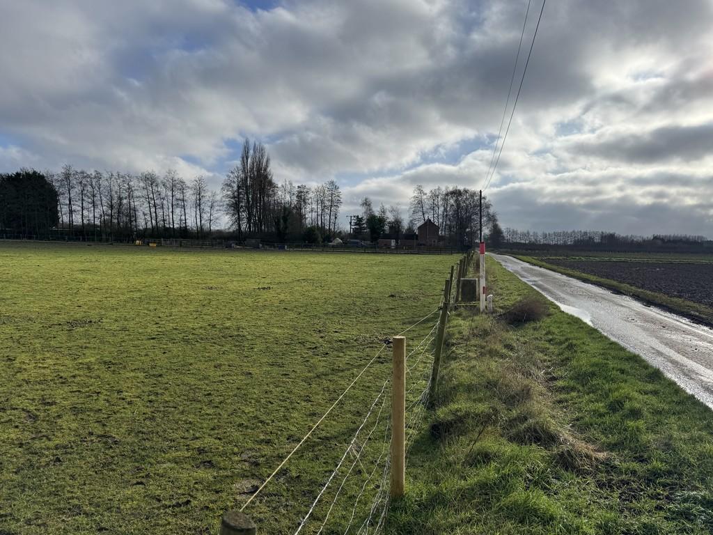
LOCATION AND ACCESS The land is located on the East side of Fendyke Lane and is accessed from Fendyke Lane.
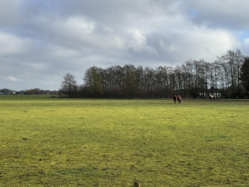
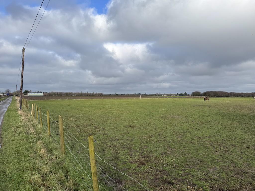
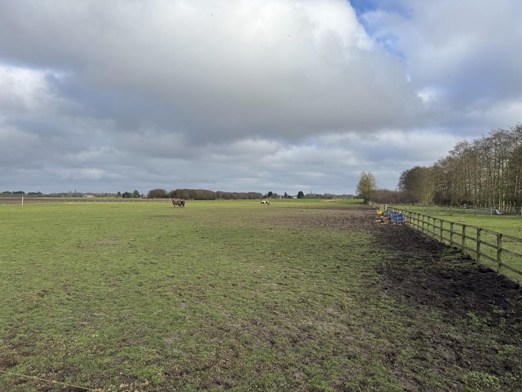
DESCRIPTION A single parcel of land, which has been grass for 10 years, currently used for the grazing of horses. The land extends in total to approximately 2.08 Hectares (5.15 Acres) (Subject to Measured Survey).
LAND AND SOIL CLASSIFICATION The land is classified as Grade 1 on the Agricultural Land Classification Map of England and Wales Sheet 124. The soil is shown on the Soil Survey of England & Wales (Sheet 4 - Soils of Eastern England) as belonging to the Wallasea 2 Soil Association, described as deep stone less clay soil, calcareous in places. The land is described as flat often with low ridges and groundwater is controlled by ditches and pumps.
BOUNDRIES The plan is for illustrative purposes only. The Buyer will be deemed to have full knowledge of all boundaries. The eastern boundary abuts an Internal Drainage Board maintained drain known as Haddon's Drain.
OUTGOINGS The land falls within the boundaries of the North Level District Internal Drainage Board. Interested parties are advised to make their own enquiries to the North Level District Internal Drainage Board at North Level IDB, Station Road, Thorney, Peterborough, PE6 0QE[use Contact Agent Button] [use Contact Agent Button]
SPORTING RIGHTS Sporting rights insofar as they are owned and capable of being transferred are included in the sale.
MINERAL RIGHTS The minerals, in so far as they are owned, are reserved from the sale for the benefit of a previous owner.
PLANS AND AREAS These particulars have been prepared as accurately as possible, based upon Ordnance Survey plans. The plan has been prepared for Identification Purposes only and, although they are believed to be correct, their accuracy is not guaranteed. The area has been taken from a combination of the Land Registry and the Ordnance Survey online mapping system.
WAYLEAVES, EASEMENTS & RIGHTS OF WAY The land is offered subject to all existing rights, including rights of way whether private or public, light, support, drainage, water and electricity supply and other rights, easements, quasi easements and all wayleaves whether referred to or not in these particulars. There is a gas line running through the bottom left side corner of the field.
METHOD OF SALE The land is offered For Sale Freehold by Private Treaty with vacant possession upon completion.
PLANNING Land is currently used for the grazing of horses and has been grass for in excess of 10 years.
VIEWING Viewings strictly by appointment with the Agent due to the presence of livestock on the land. Further details from Alan Faulkner.
The Health and Safety of those viewing is the responsibility of the individual undertaking the viewing. Cultivated or uncultivated land is, by its nature, likely to be uneven with possible trip hazards. Neither the Seller nor the Agent accept any responsibility for damage or injury to persons or property as a result of viewing the land and parties do so entirely at their own risk.
Property information from this agent
Area statistics
Crime score
Low crime
0/10
Home prices (average)
Land
£284,286
£284,286
About this agent
Maxey Grounds & Co - Wisbech Commercial