

 Area stats
Land for sale

Key information
Features and description
Rooms
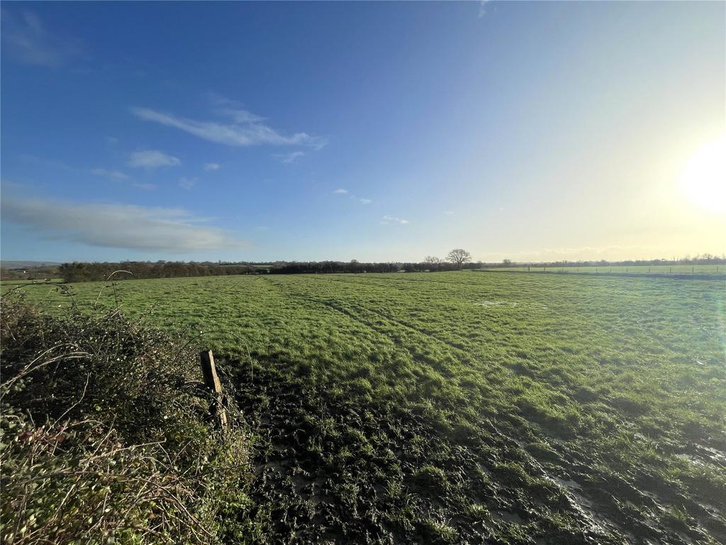
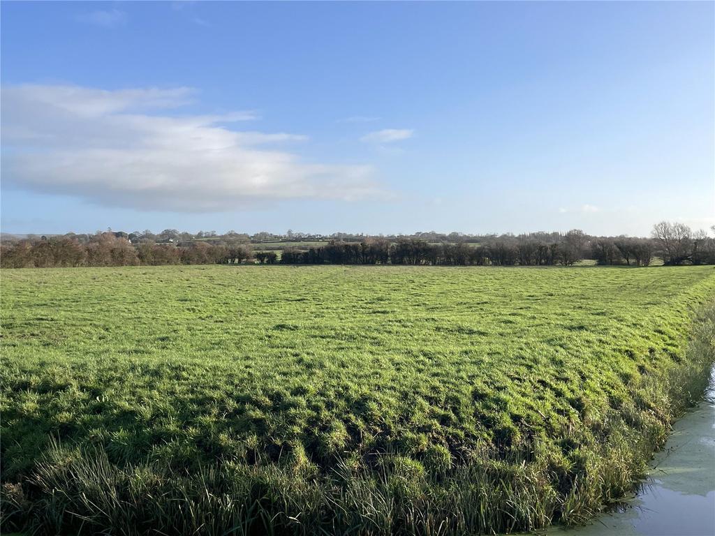
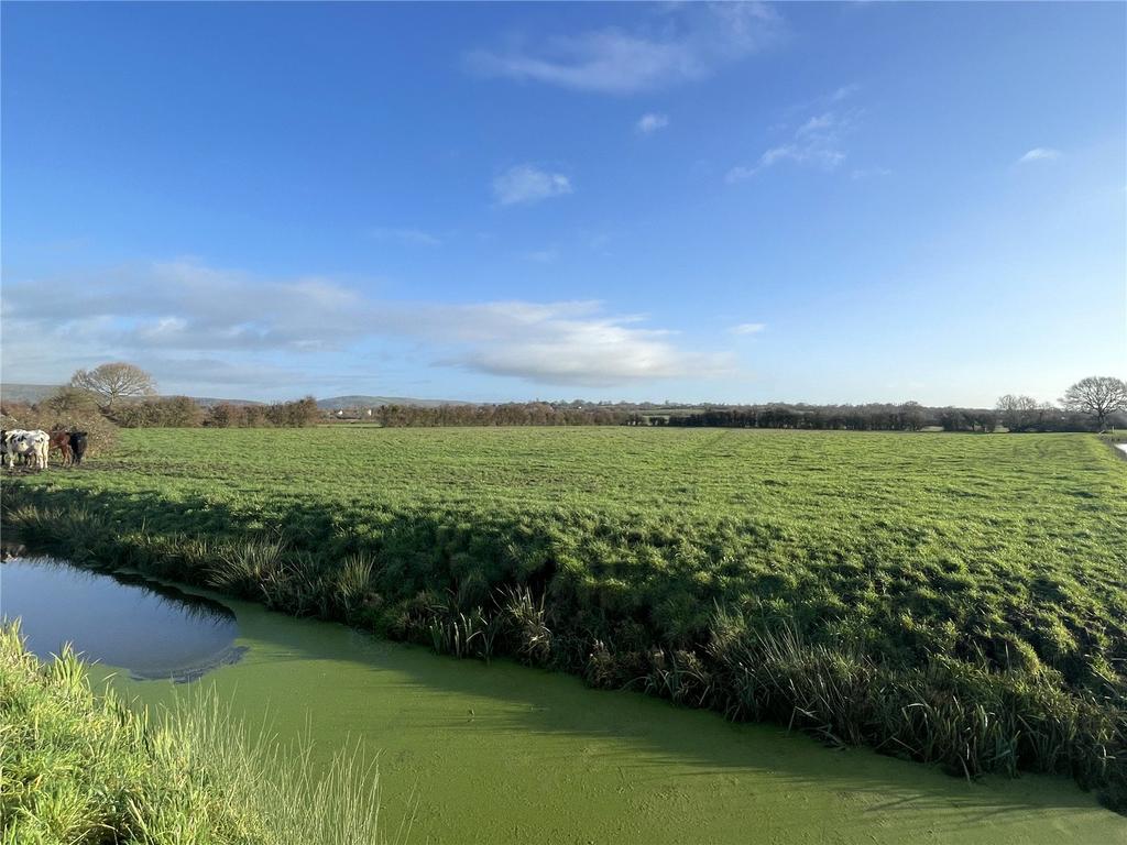
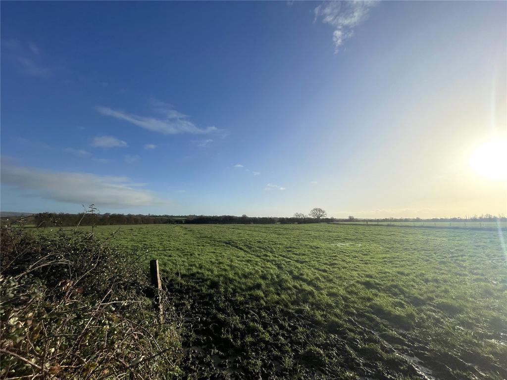
DESCRIPTION
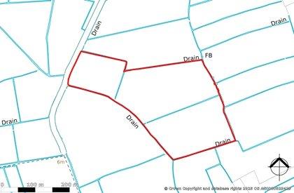
19.87 acres of level productive permanent pastureland, split into 3 parcels. Situated off a hard track road known as the Doles. The land is surrounded by mature hedgerow boundaries and natural water courses, which includes a drainage board maintained rhyne running the southern boundary.
The land is classified as Grade 4 under the DEFRA land classification map.
The land benefits from natural watering only.
SITUATION
Access to the land is via The Doles, which provides Gated access to the west on to a tarmac lane, which leads to Badgworth Lane to the north. The land is approximately 2 miles Southwest of Axbridge, and 3 miles away from Wedmore. With close connection to the A38 of 1.5 miles.
What3Words - Northern Access: snowballs.hacking.guard
LOCAL AUTHORITY
Somerset Council