No longer on the market
This property is no longer on the market

 Floorplan
Land
Land
Key information
Features and description
- Grade 3:1
- Suitable for a variety of crops
- Good access
- Approximately 108.45 acres in total
- Closing date - 26 September 2024 - 12 noon
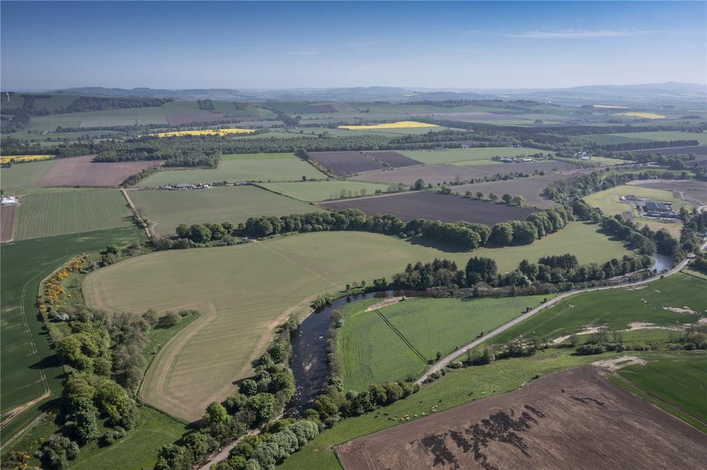
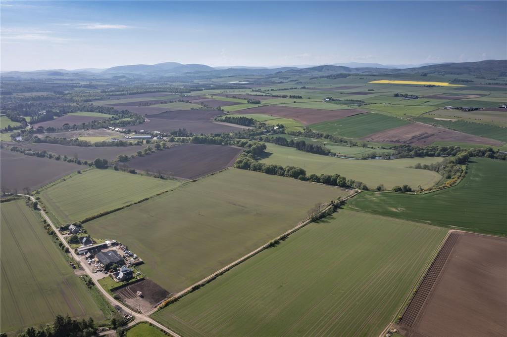
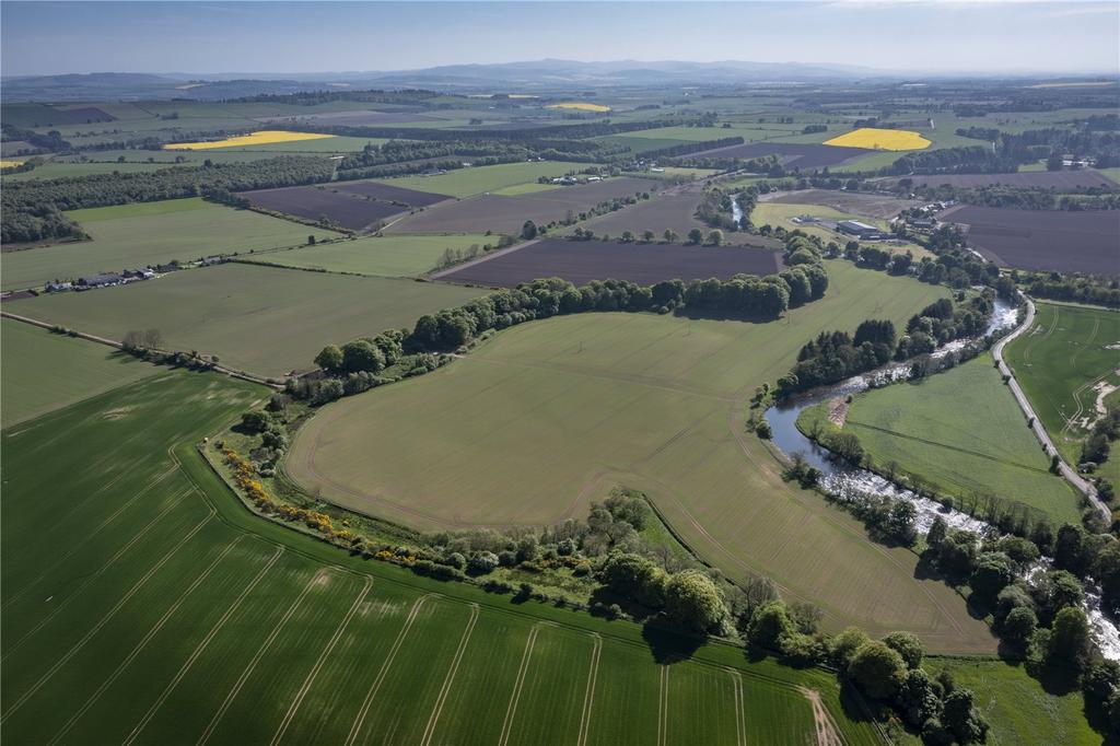
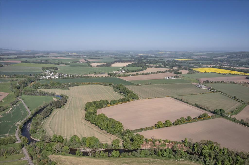
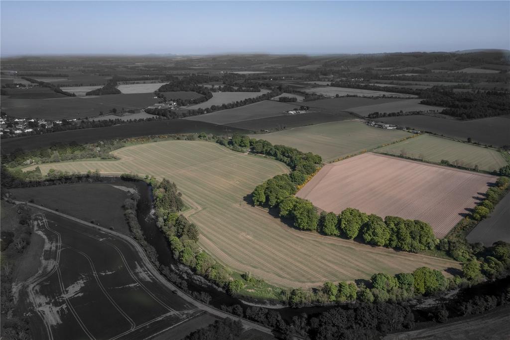
An attractive block of well-located arable land extending to approximately 108.45 acres (43.89 hectares).
A well proportioned and accessible range of arable fields as well as amenity woodland and river frontage. The land has been run on an arable rotation which includes potatoes, peas, cereals and grass.
Cropping
The land is currently part of a larger arable enterprise with crops grown in rotation including: barley, oats, turnips, potatoes and peas. Previous cropping is available on request.
Soils
The Land at West Mains of Whitewell is designated as predominantly Class 3(1) by the James Hutton Institute and is suitable for a wide variety of crops, currently sown in spring barley, winter wheat and potatoes. The soil is a mixture of Humus-iron podzols, some Brown Forest soils and gleys.
The average rainfall for the area is in the region of 818mm per annum.
Altitude
The land is predominantly level and in parts gently sloping, ranging from 60m to 80m above sea level.
Irrigation
Irrigation is not currently undertaken but with the availability of direct access to the River South Esk, irrigation would be possible with a suitable abstraction license.
Viewing
Strictly by prior appointment and only through the Bell Ingram Forfar office.
Health and Safety
The land forms part of an agricultural holding and necessary care should be taken during inspections.
Property information from this agent
About this agent
We understand that the decision to sell is never easy. The relationship between our agents and clients is based on trust and our team will give you the confidence that we will be able to achieve the best outcome for you. Drawing on over 100 years' experience, our professionals ensure your expectations are exceeded.