No longer on the market
This property is no longer on the market
Similar properties


Croft
Key information
Features and description
* closing date for offers set - 12 noon 29 April 2022 *
DESCRIPTION
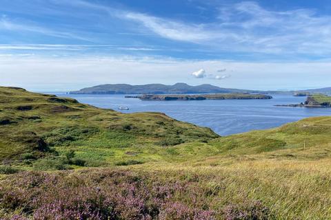
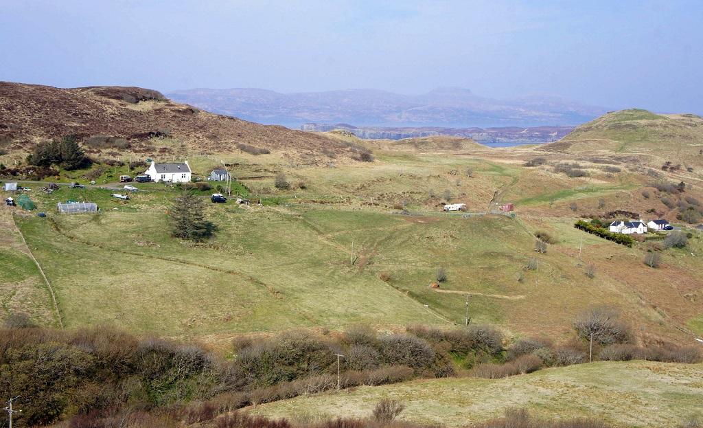
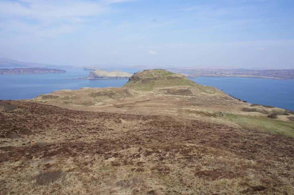
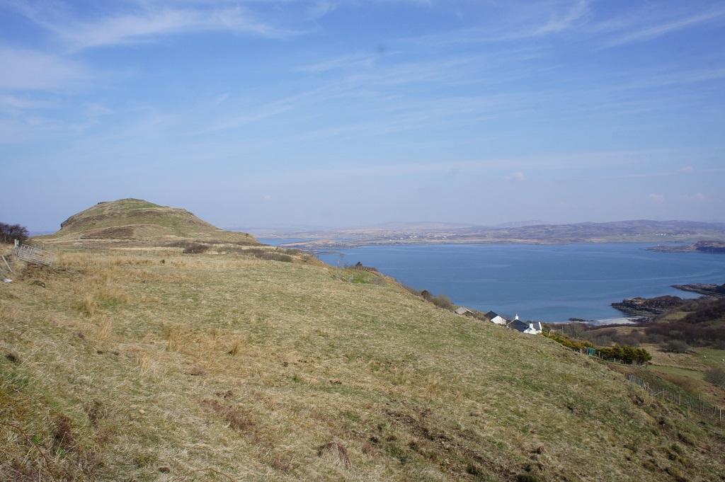
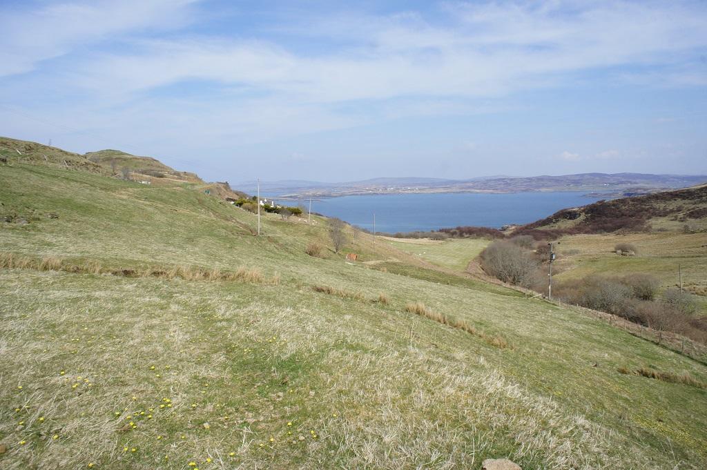
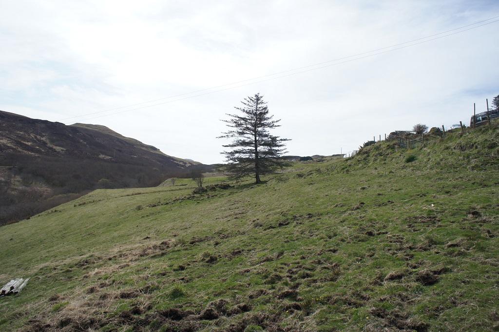
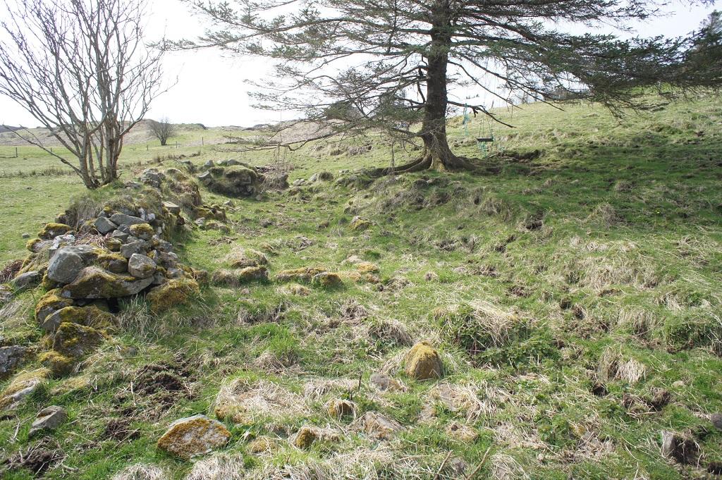
A part owned, part tenanted croft of 5.951 hectares (14.70 acres) with two decrofted house sites, both of which have planning consent in principle for the development of a house. The croft occupies an area generally of easterly facing hillside, in two sections, above and below the local township road. The croft is the second last croft before reaching the end of the township and overlooks the secluded beach of Camas Aird an t’Sabhail. The lower part of the croft is more pasture than the rougher hill grazing which forms most of the area above the road. The croft has supported sheep, ponies, pigs and hens over the last 15 years, most recently being grazed by cattle. It offers considerable scope for diversification. The house sites are both on relatively flat areas and each has extensive views over land and sea, especially the upper site. Additionally there are level areas of ground both above and below the road which provide scope for building agricultural sheds or polytunnels (subject to appropriate planning notifications). A burn forms the east most boundary of the croft, the bank of which has been permitted to naturally regenerate woodland, mostly hazel (which could be coppiced), alder and willow, with an understorey of primroses, bluebells and a wide range of flowers. Deer, otter and foxes have been seen here as well as sea eagles, golden eagles, buzzards, skylarks and other birds. Two natural springs flow through the lower part of the croft, one of them providing a year round water supply. There have been significant finds of ancient artefacts on the croft, linking the area to bronze age habitation. Access to the common grazings is obtained in a gate in the western most corner of the croft. From here there is a local coastal path across the cliff tops and also to a broch which can be seen from the upper part of the croft.
LOCATION
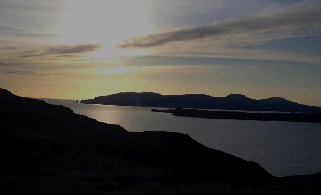
The croft is situated on the western side of Skye on the Minginish peninsula almost at the end of the township road, resulting in it enjoying relative seclusion. Nearby is Bracadale Bay which leads into Loch Harport. Looking out from the croft the islands of Wiay and Oronsay are readily visible, as are MacLeod’s Tables, Dunvegan and the rock stacks of MacLeod’s Maidens. On a clear day the hills of Harris and the Outer Hebrides can be seen from the croft. Within a short drive is the local community centre and a local pub in Portnalong. The closest village is Carbost where there is a shop, medical centre and primary school. Skye’s main town, Portree lies a short drive away on the east of the Island.